Like too few great mountains, Mount Mitchell was named after a stubborn preacher. Elisha Mitchell was an ornery man—it took a certain kind of uncompromising mulishness to measure mountains, especially in those early days of vertical exploration. Sir George Everest, for one, was renowned on two continents for his stubbornness. I imagine the pursuit of trigonometry will test a person’s obstinacy, much like the pursuit of the Almighty will test his patience for the unknowable. Perhaps that’s why the Reverend Mitchell found his avocations at high altitudes—whether mapping peaks or communing with God, his determination knew almost no limit. Almost.
In 1835—by then a seasoned geographer and surveyor already in his forties, and also a Presbyterian minister—Elisha Mitchell spotted a peak above the clouds in the eastern Appalachians and estimated it was the highest in the land. He spent the next nine years measuring and re-measuring it, between his Sunday sermons, until he was satisfied the mountain had no equal in the young United States of America. Even the venerable Mount Washington, named for the near-mythical Founding Father, fell in its figurative shadow.
Such a towering blasphemy, even one rooted in mathematical proofs, offended the orthodoxy. A wiry senator named Thomas Clingman—later General Clingman of the Confederate States Army and the defeat at the Battle of Goldsborough Bridge—disputed Mitchell’s claim to have measured the mountain so accurately. Clingman fancied himself an amateur geographer (he had once been a student of Mitchell’s) and dismissed his teacher’s discovery. The two men fought a war of words via the newspapers until Mitchell punted and went back to his mountain, at the notably stubborn age of 63, to measure it again.
And there he died—felled by a sudden gust of wind, perhaps, or simply a loose rock, which caused him to tumble from the top of a cataract and plunge desperately earthward. But his stubbornness lives on at the highest of altitudes—indeed, the highest in all Appalachia, as later science confirmed—as the mountain was given his name.
And in stubbornness of one kind or other, we continue to climb it.


The Trail Run:
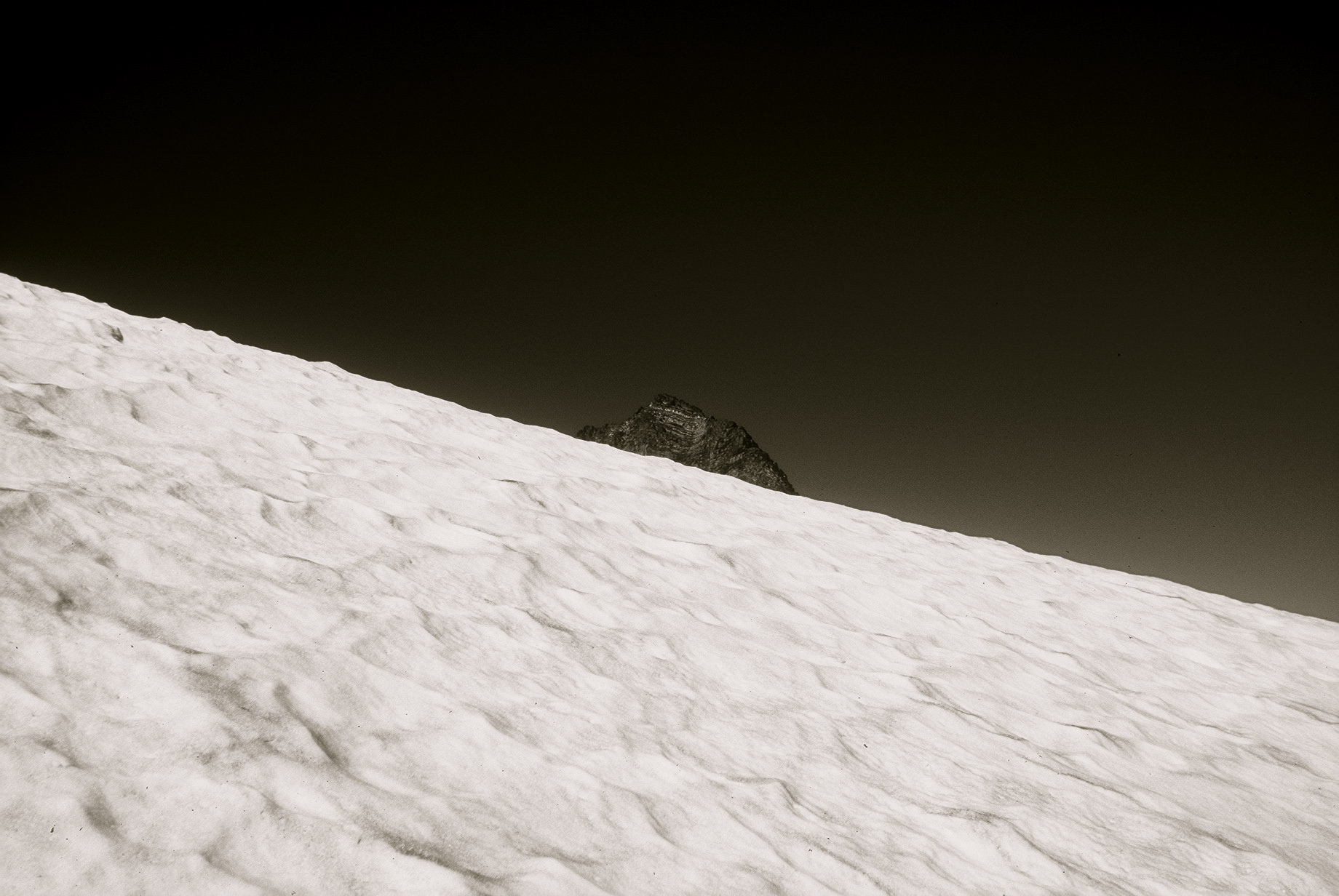
A late-winter ascent of Mount Mitchell via the Mt. Mitchell Trail
18km (11.2 miles) round-trip
Elevation gain: 3700ft
Summit temperature: -6C (-15 wind chill)
Time: 4 hours
Nearest town: Asheville, North Carolina
With a twist:
Due to winter closures on the Blue Ridge Parkway, I ran the mountain in reverse—from top to bottom, and then back up. The Parkway was open as far as the State Park, where a paved road leads to a summit observation tower. This, in hindsight, was much more enjoyable—once I started to climb, I was already warmed up from the descent.
Drive a fun car:
The access route along the Blue Ridge Parkway is perhaps even more exhilarating than the mountain hike, especially at dawn on a cold, clear day, with a car that handles curves nicely. Check for road closures in winter.
More info:
Trail Map
Mount Mitchell State Park
Mount Mitchell Live Weather & Summit Cam
Summit Post trail description
Hike WNC trail description


Text and photos by Richard Alexander Johnson