When Samuel Champlain paddled down the Restoule River with a party of Ottawa nation aboriginals in the early seventeenth century, he believed he was beating a trail of discovery to a great, westward river that would lead to the mer de l’ouest, the ocean on the far side of what was, to Europeans, a new found land.
In the Canada of Champlain’s peers, the frontier emerged from obscurity beneath each footstep and paddle stroke of he and his men. What became known as the French River was the first of many underestimations of Champlain, who was by all evidence one of the more gifted of the early European explorers of North America.
Champlain stood at the confluence of the Restoule and French Rivers and believed the latter flowed over the western horizon to the salted sea. (No doubt his indigenous guides, who may never have come across anything but fresh water during their inland lives, struggled in translation with this alien concept of saltwater.)
Champlain was wrong. But in his wrongness, he made if not a discovery then at least a revelation.
 It may have dawned on him that he was experiencing the seduction of terra incognita. It’s what we draw on maps before we ever experience the place to be mapped. It’s what we claim as our own before we know if it can even be gained, let alone held and owned. It’s what traps us into confusing our passion for discovery with a conquering of nature.[1]
So powerful is the force behind exploration that it can place a child’s imagination inside the cunning mind of a man.
As Jean Baudrillard wrote of cartography in the postmodern age, “The territory no longer precedes the map, nor survives it…. It is the map that precedes the territory.”[2]
The map, like Champlain’s belief in a river to the sea in the middle of Ontario, is our imagination, our longing to explore. It is in some ways essential to our path. But it–and not the wilderness–is what must be gained and held.
What drives us to discover that which we do not know cannot be placed on a map. No matter what it promised on his map–no matter that he ended up with Georgian Bay instead of the Pacific Ocean, which turned out to be of no small import to Europeans–Champlain’s only real discovery was that in going beyond his known frontier, he released the child inside him to explore a true wilderness.
 What Francis Younghusband humbly wrote about the Himalaya applies well to the wilderness discovery narrative in general: “To those who have struggled with them the mountains reveal beauties they will not disclose to those who make no effort. And it is because they have so much to give and give it so lavishly to those who will wrestle with them that men love mountains and go back to them again and again.”[3]And so seduced, eager and aware, our group went a-paddling where Champlain had dreamt of reaching the far side of the world.
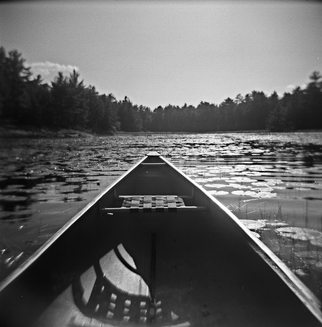
Our Route
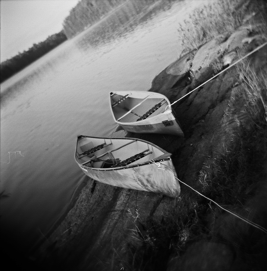
Day 1: Approximately 46° 4′ 2” North latitude by 79° 46′ 24” West longitude is the starting point. From the south shore of Stormy Lake in Restoule Provincial Park paddling westward into the Restoule River, via the Scott’s Dam portage (270m), and into a beautiful campground with good fishing on the south shore of Lennon Lake, which is no more than a widening of the river. 11km plus 1 portage.
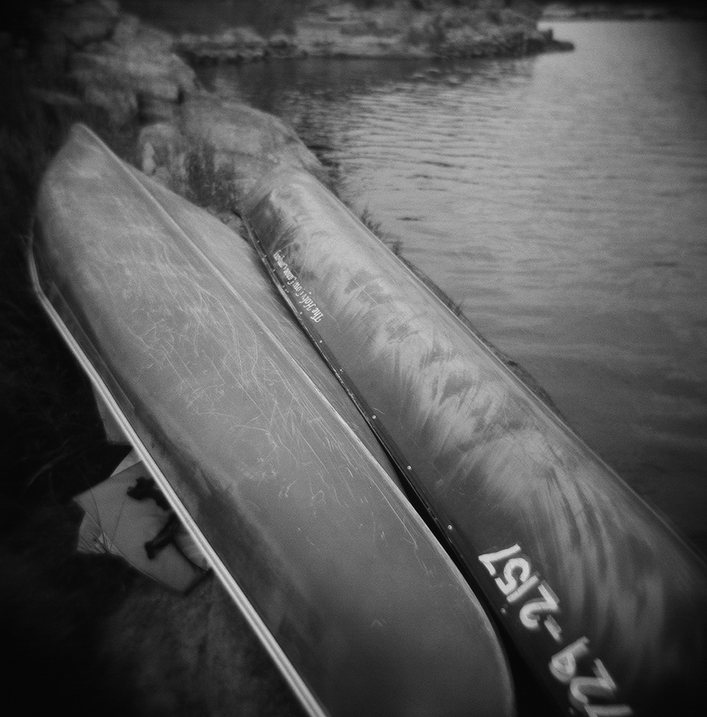 Day 3: Chaudiere portage (600m) leads into the southern bay of the Upper French River. Paddle hard (in headwinds and a downpour of rain, for us) around the islands east of the First Nation town of Dokis all the way up to Satchel’s Bay, then to a glorious and surprisingly secluded campsite at the eastern tip of Sumner Island. 12km plus 1 portage.
Day 5: The day of four lakes, from Shoal Lake to a portage (800m) that leads to Bass Lake, across which is another portage (900m) that ends at the western shore of Watt (sometimes called Clear) Lake. Traversing Watt Lake to its end the waters open up southward into Stormy Lake, heading back to the starting point at Restoule Provincial Park. 11km plus 2 portages.
